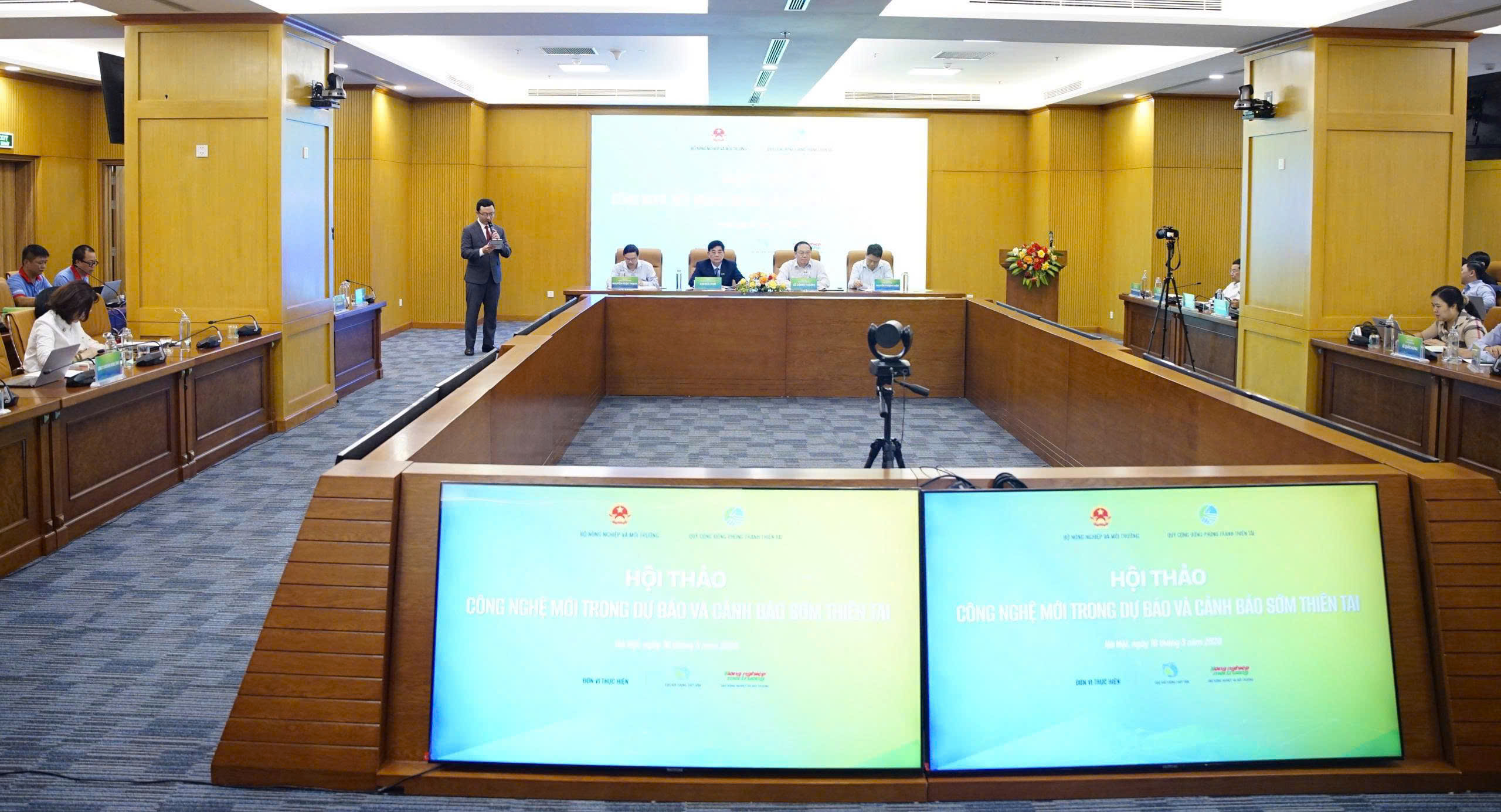
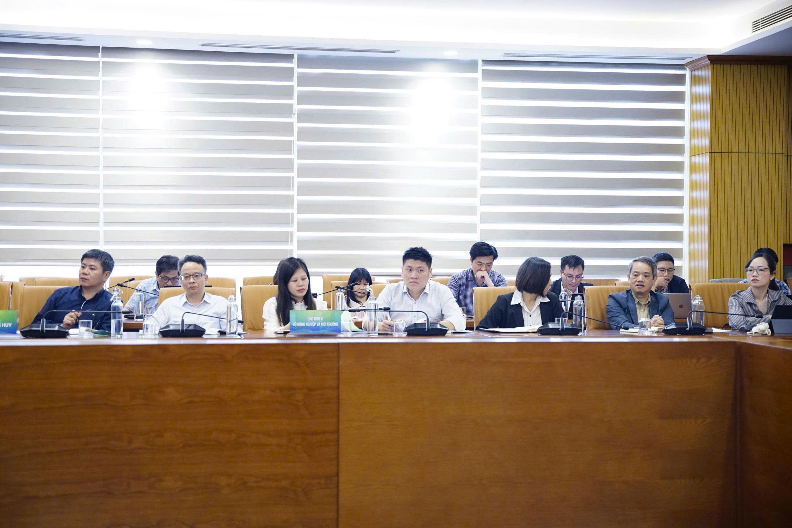
The workshop was attended by leaders from the Ministry of Agriculture and Rural Development, the Disaster Prevention Community Fund, and the Thien Tam Foundation. A wide range of state management agencies under MARD were also present, including the Department of Science and Technology, the Department of Dike Management and Natural Disaster Prevention and Control, and the Department of Water Resources Management and Construction. Other key participants included representatives from the Department of Digital Transformation, the Department of Climate Change, the National Remote Sensing Department, and the Vietnam Administration of Seas and Islands.
Furthermore, the event drew a diverse group of experts from research institutes and academic institutions, such as the Vietnam Academy of Water Resources, the National Center for Water Resources Planning and Investigation, Vietnam National University Hanoi, Thuyloi University, and VinUni. The gathering also saw participation from various enterprises and research units specializing in disaster prevention, hydro-meteorology, irrigation, digital transformation, and remote sensing. Additionally, representatives from the Departments of Agriculture and Rural Development, irrigation bureaus, environmental monitoring stations, and regional meteorological stations across 34 provinces and cities were in attendance.
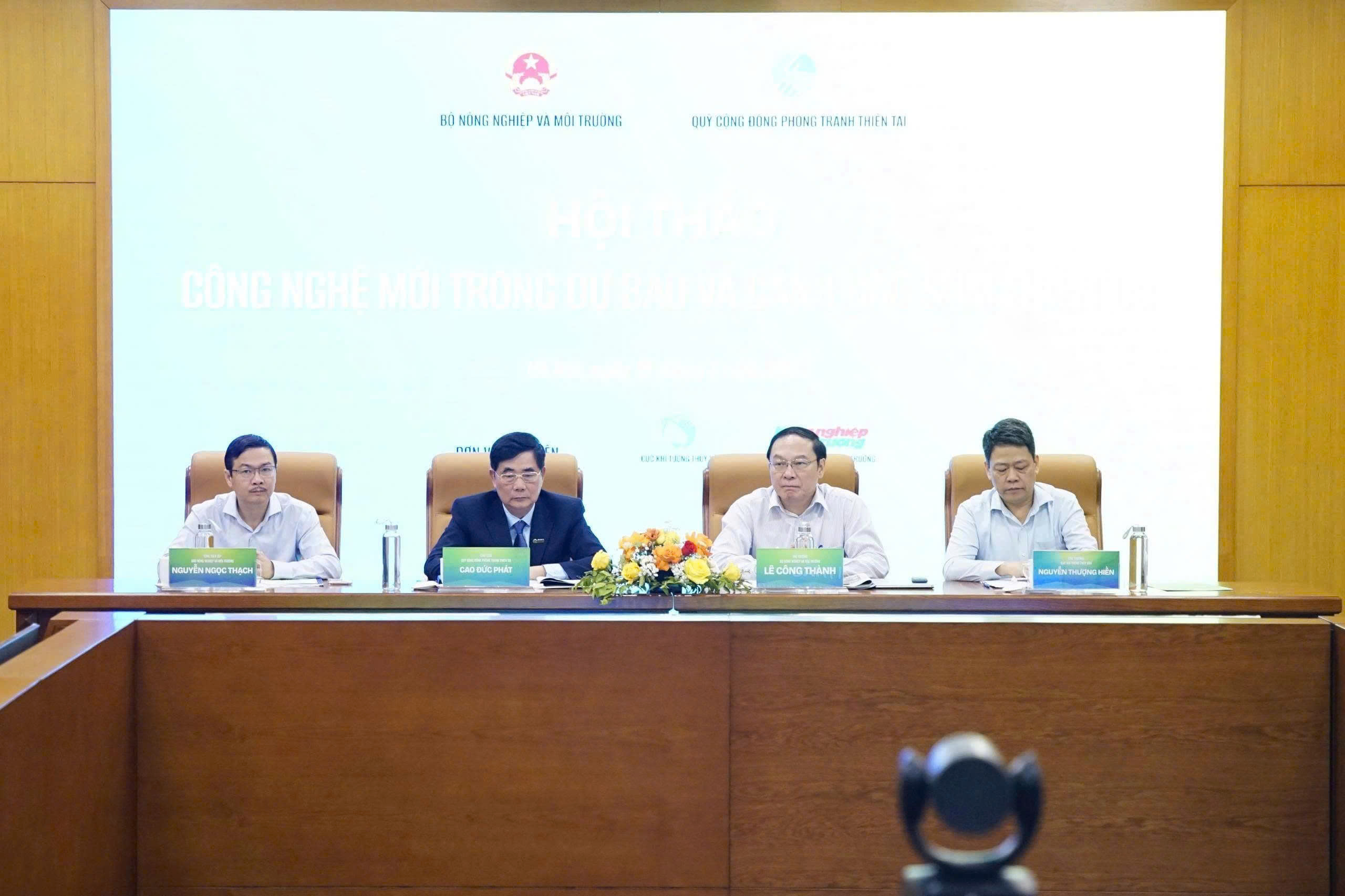
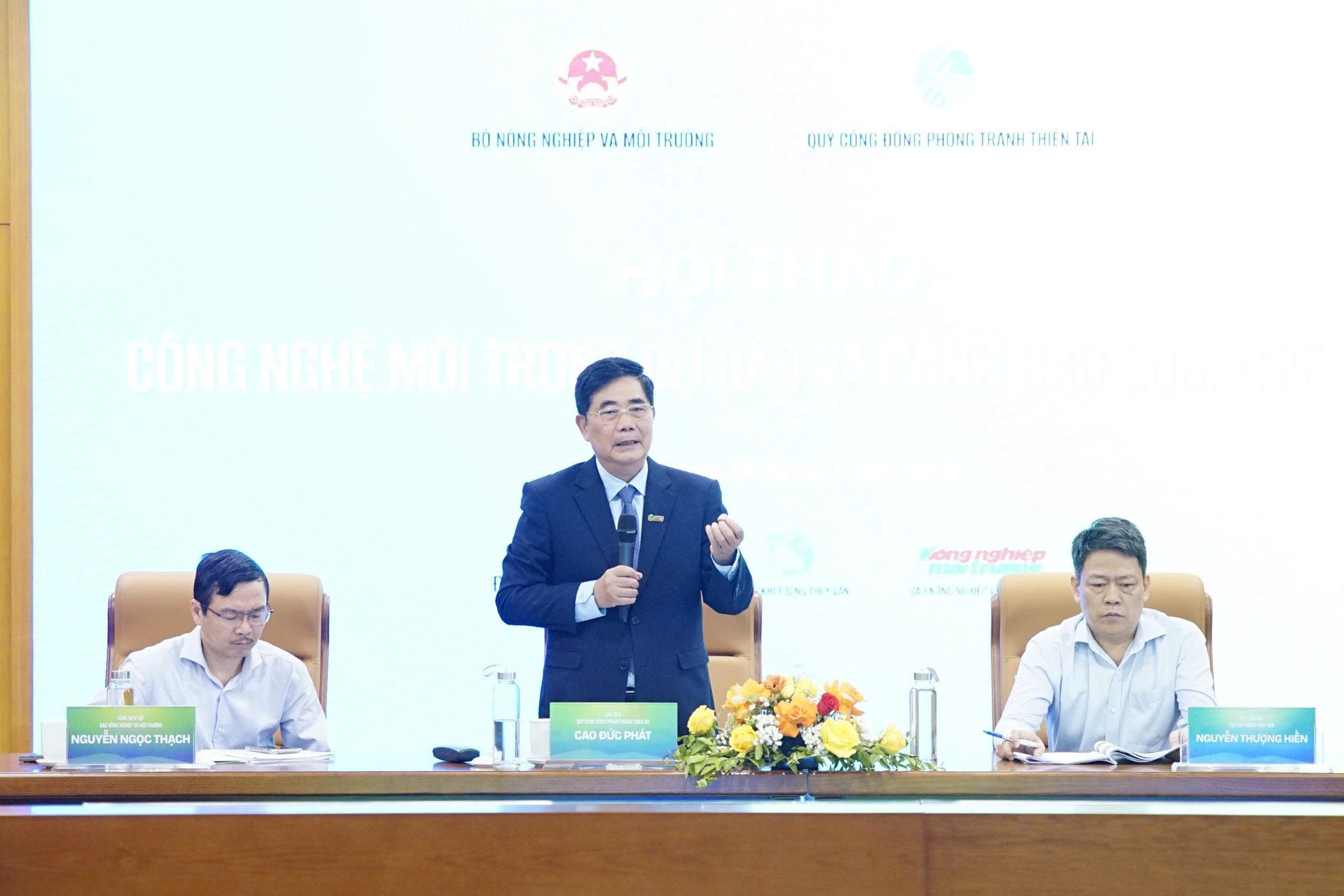
Delivering the keynote address at the workshop, Vice Minister of Natural Resources and Environment Le Cong Thanh emphasized that natural disasters in Vietnam and across the world are showing a clear upward trend under the impact of climate change. Regarding future directions, the Ministry of Natural Resources and Environment will focus on digital transformation within the hydro-meteorological sector, building big data systems, and developing modern forecasting models. At the same time, the Ministry will enhance connectivity and data sharing between management agencies, research institutes, businesses, and international partners. Another key priority is to deliver warning information to the public faster and more accessibly through digital platforms, mobile devices, and multi-channel communication systems.
At the workshop, Mr. Bui Quang Huy, a representative of the Center for Disaster Management Policy and Technology, presented on digital transformation in community-based early warning and disaster response. The Center emphasized that no matter how modern the forecasting technology may be, the goal of minimizing damage cannot be achieved if the information fails to reach the people effectively.
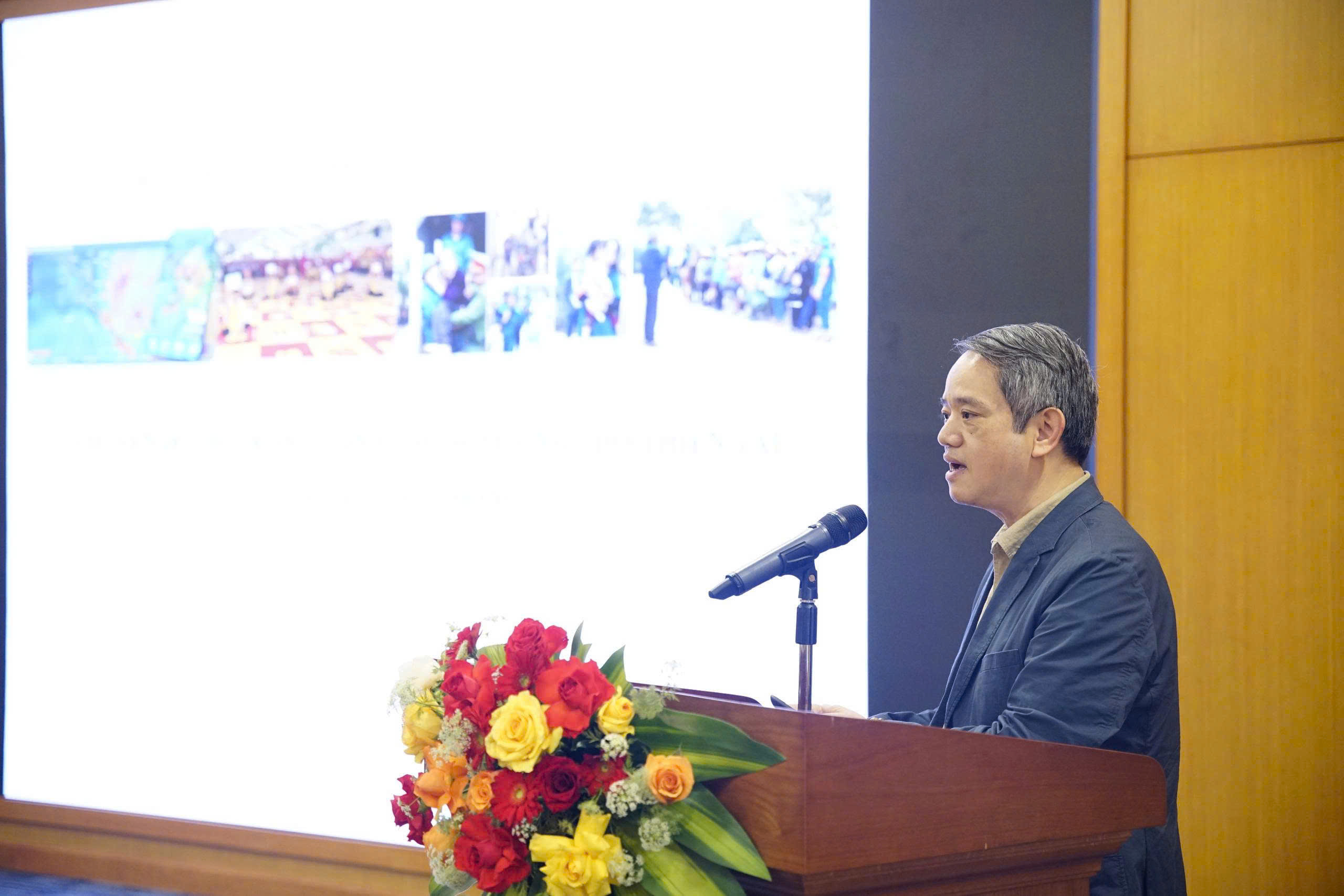
To ensure that people receive, understand, and proactively respond to disasters, there is a need for a synchronized and interconnected early warning system from the central to the local levels, with data ensuring the criteria of being accurate, sufficient, clean, and live," shared Mr. Bui Quang Huy, Deputy Director of the Center, during the workshop.
To achieve this, the Center proposed several key solutions, starting with the integration of multi-source data. This involves connecting monitoring data, field observations, and information directly from the community into a digital platform for real-time surveillance. Furthermore, the Center emphasized the importance of multi-channel communication by maximizing the use of mobile devices and social networks to personalize warning information. This approach ensures that warnings are tailored to specific groups, particularly residents in remote and isolated areas. Another vital solution is the development of decision-support systems, synchronized databases, and natural disaster risk maps. When linked with response plans based on specific risk levels, these systems will enhance management efficiency and improve the response capabilities of both local disaster prevention forces and the community.
Echoing the Center’s perspective, various experts agreed on the necessity of shifting from "disaster management" to "disaster risk management." Consequently, socio-economic development planning must fully integrate disaster risk factors while developing specific response scenarios tailored to each locality and type of natural hazard. The development of digital risk maps, evacuation plans, and decision-support systems will empower both authorities and citizens to be more proactive in preventing and mitigating damage.
The active participation of the Center for Disaster Management Policy and Technology at the workshop once again affirms the unit's vital role in researching models and applying science and technology to state management. These efforts contribute significantly to building a safer community in the face of natural disasters.
Images from the workshop: