Trung tâm phòng tránh và giảm nhẹ thiên tai

Disaster Management Policyand Technology Center

Giao diện dễ tiếp cận vietnam english
Log in

Management - Cooperation - Work together

  • Homepage
  • About
    • About DMC
    • Organization Structure
    • Function & Tasks
    • Development stratery
  • News
    • National and International News
    • DMPTC News
  • Information Center
    • Disaster infomation
    • Basic knowledge
    • Library
      • Legal documents
      • Reference documents
      • IEC documents
      • CBDRM documents
        • Legal documents
        • Reference documents
        • IEC documents
    • CBDRM (Program 1002)
      • Project Matrix
      • Technical Assistance Network
      • CBDRM documents
        • Legal documents
        • Reference documents
        • IEC documents
      • Monitoring and Evaluation (M&E)
      • CBDRA
        • Disaster risks maps
        • CBDRA Reports
        • Other maps
      • Disaster prevention plans
    • Disaster risk maps
    • Irrigation systems
    • Trainings and Workshops
    • Gallery
  • Partners
  • Projects
  • DMC-Mail
  1. News
  2. Details
  • Share this on Facebook
  • Share this on Twitter
  • Share this on GooglePlus

Technical seminar of reporting training and studies results on building the flood map at AIT

15:50:14, 15/03/2016 In the process of implementing the Memorandum of Understanding between Warter resource directorate, Japan Aerospace Exploration Agency (JAXA), and VietNam academy of science and technology (VAST) on applying geospatial technology in disaster prevention.

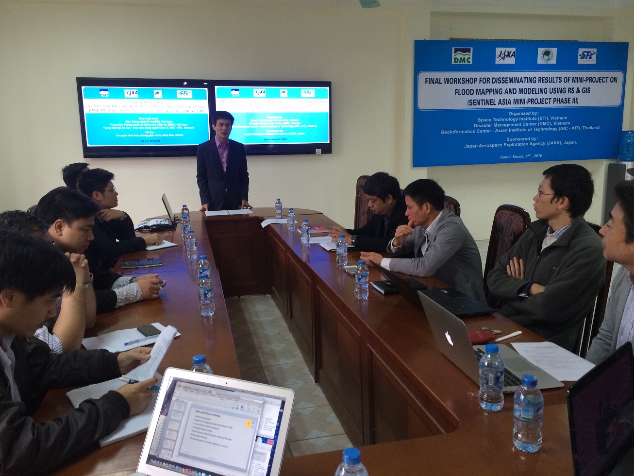
Disaster management center (DMC) organized a technical meeting on the results of training, research on develop flood map by  hydrological and hydraulic model and  satellite image analysis on March 08 2016


This is the training activity under the framework of the project “DDR portal project” of JAXA with the aim of improving capacity of staffs of DMC, Space technology institute (STI/VAST) on developing flood map by applying hydrological and hydraulic model and  satellite image analysis. The training was organized in GeoInformatics Center (GIC/AIT) in Thailand under the model of learning by doing with the experts of GIC/AIT.

The participants of meeting includes the experts, technical staffs of JAXA, GIC/AIT, STI/VAST, and other related agencies. 


After attending the presentation on training results, the participants make a evaluation that the trained staff understand the basic rules, operation process of model, analysis satellite image in flood mapping, show the limitations and appropriate recommendations to meet the requirements and objectives of training. However, the result is not perfect because of the insufficient input data. Therefore, DMC and two institutes decided to review and collect the input data in order to support the trained staff and experts of GIC/AIT in improving the the quality of result.

During the meeting, all stakeholders discussed the expectation on long term cooperation on capacity training, data sharing, applied results, etc…under the framework of Sentinel Asia system on disaster prevention in general and the mission of agencies in particular. The representative of JAXA gave a high appreciation on the success of meeting, expressed on its meaning as a first step for all partners of JAXA improving capacity to keep going on implementing the next activities serving the mission of Ministry, Administration on disaster prevention.

In order to closing the meeting, Vice Director of DMC Mr. Dang Quang Minh expressed the gratefulness for the cooperation with JAXA, STI, GIC/AIT and the expectation to maintain and strengthen their cooperation in the long term period.

Some pictures of the Seminar


(Source: P. CNTT&ĐKG - DMC)

Read more

  • Training and collecting socioeconomic data with a focus on gender, age, and social factors in Ca Mau province.
  • The Ministry of Agriculture and Rural Development approved the Document guiding the implementation of the Project "Raising public awareness and Community-based disaster risk management, by 2030"
  • Lai Chau: Golden Bell Ringing "Together with children, prevent natural disasters, create a sustainable future"
  • Commune-level training on the "Safe, clean and green community" model in Hiep Thanh commune - Bac Lieu city - Bac Lieu province
  • The 18th ASEAN Coordination Center for Humanitarian Assistance in Disaster Management (AHA Center) Meeting
  • ACDM’s 42nd annual conference commences in Da Nang
  • Survey of user needs to assist in the development of the Disaster Risk Map and the upgrade of the Vietnam Disaster Monitoring System (VNDMS)
  • Disaster Emergency Telecommunications Network (ETN) Workshop and Disaster Emergency Telecommunications System training
  • The model of an information system and a master database for disaster prevention workshop
  • Training on collecting economic livelihoods for disaster prevention and control in the Northern Mountains and Central Region - Central Highlands


  • Vietnam Natural Disaster Monitoring System (VNDMS)

  • Community-Based Disaster Risk Management Database (Project 553)

  • Socio-economic database

  • Riverbank landslides, coastal erosion database

  • Spatial for disaster management database

  • Library Disaster Management Policy and and Technology Center

  • Damage database

  • Satellite database

  • Science and Technology Database

  • Online Knowledge Dissemination Software for Disaster Prevention

  • Digital transformation portal in disaster management

  • Camera Management and Monitoring Software

Weather forecast

Copyright © 2015 - Disaster Management Policy and Technology Center

Address: No.54 - 102 Truong Chinh street, Dong Da, Ha Noi

Phone: +84-436291511 - Fax: +84-437336647

Email: trungtamcsktpctt@gmail.com - Website: www.dmptc.gov.vn

Online users: 642

Visistors: 19911474